Web Design, Web DevelopmentMontenegro
The team demonstrated an excellent culture and client-focused approach.
5.0
A bilingual WordPress site for the Ministry of Ecology's GEF 7 project that shares Montenegro's conservation work, runs open calls for funded activities and maps the country's most significant natural areas, all managed by the team itself.
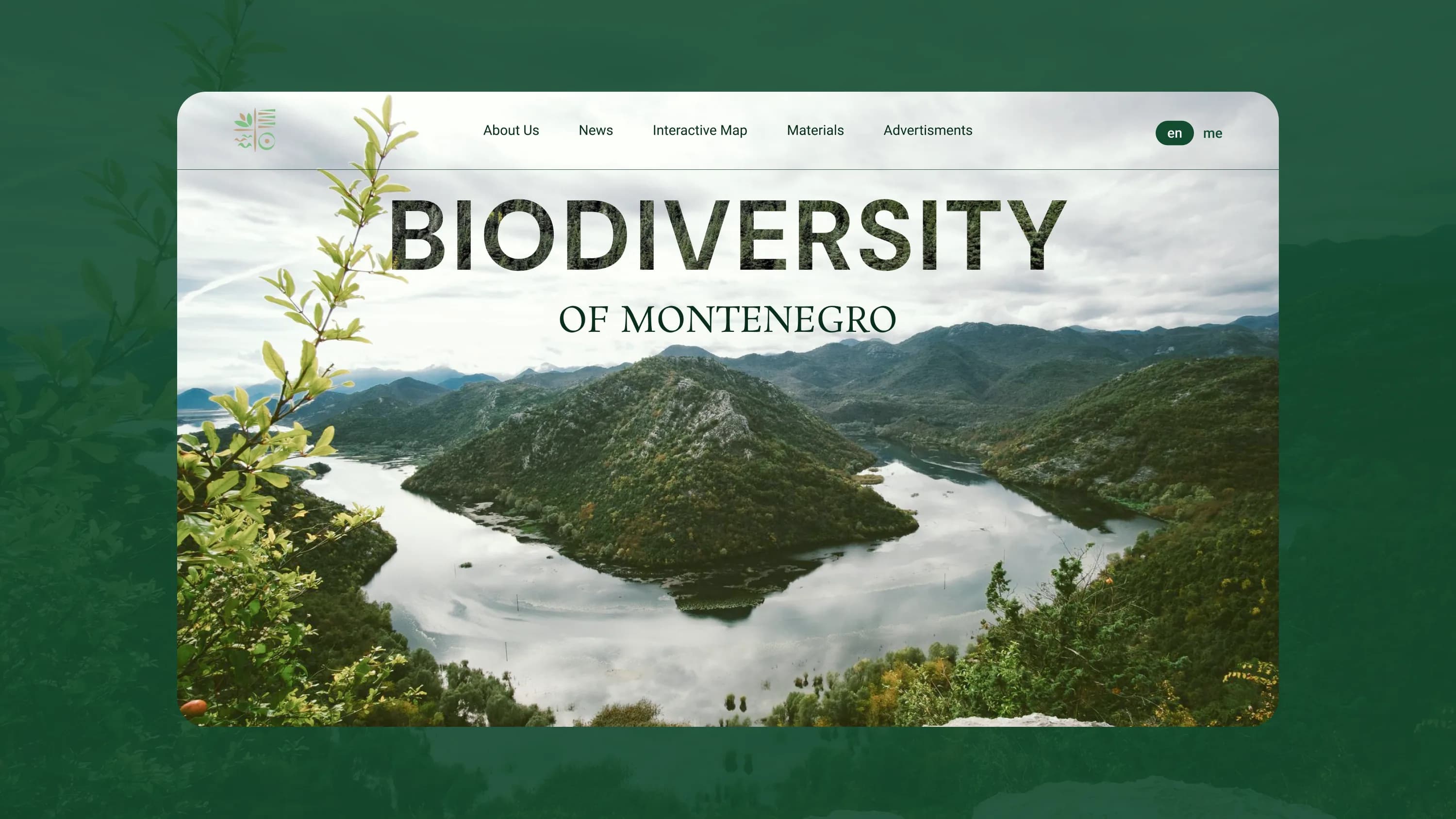
The GEF 7 project, led by Montenegro's Ministry of Ecology, protects the country's Key Biodiversity Areas and connects conservation with the sectors that depend on it: tourism, agriculture and forestry.
We built the project's public website: a bilingual WordPress site that shares conservation efforts, runs open calls for funded activities and maps Montenegro's most significant natural areas. It is clean, easy for the team to manage and built so content stays fresh without a developer in the loop.
A conservation initiative only works if the people and sectors it affects can find it and act on it. The GEF 7 project needed a public home that could explain Montenegro's biodiversity work to a general audience and to partners in tourism, agriculture and forestry, run its recurring open calls for funded activities and present complex spatial data about protected areas in a way anyone could read.
It also had to work in both Montenegrin and English, and stay easy for the team to keep current without a developer.
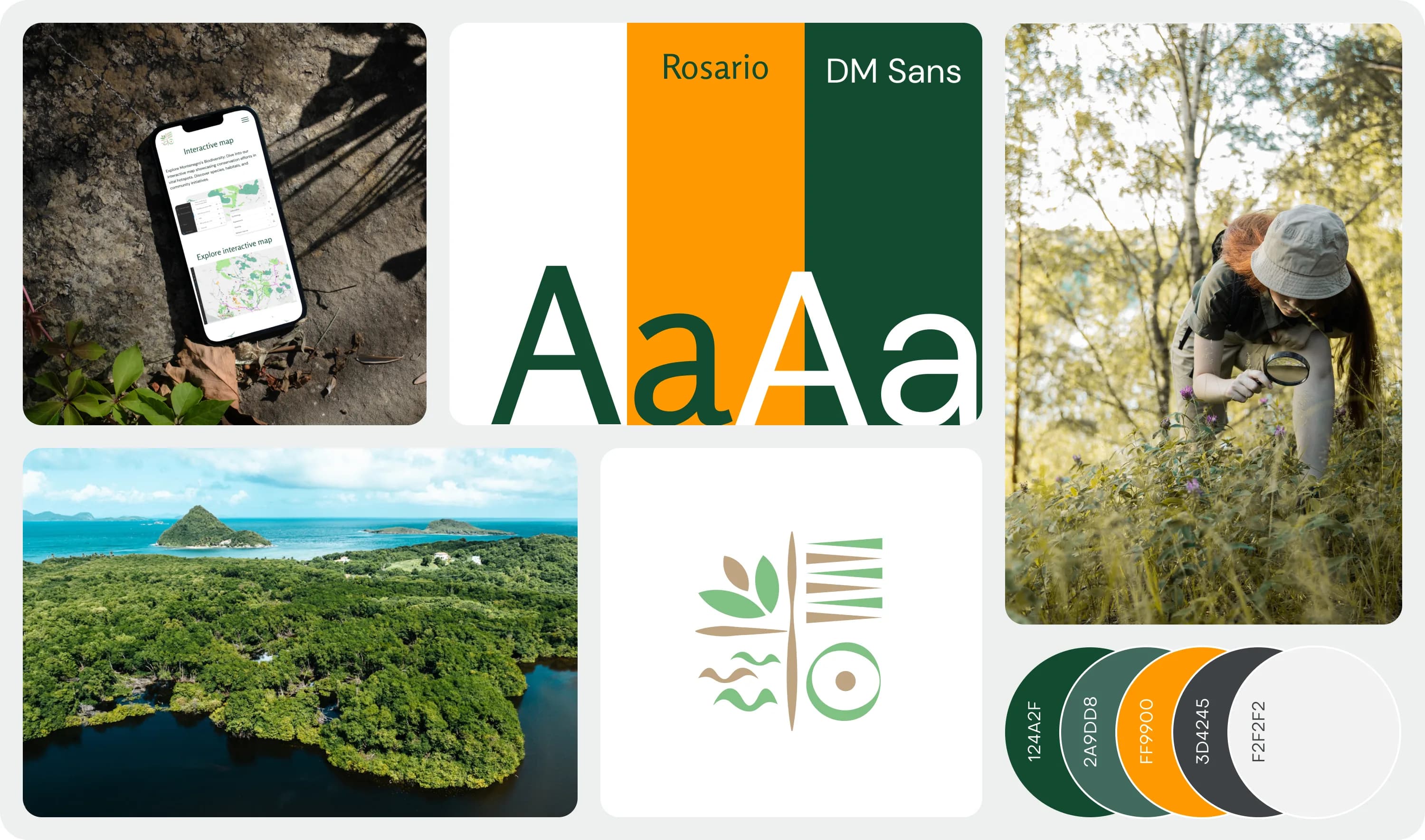
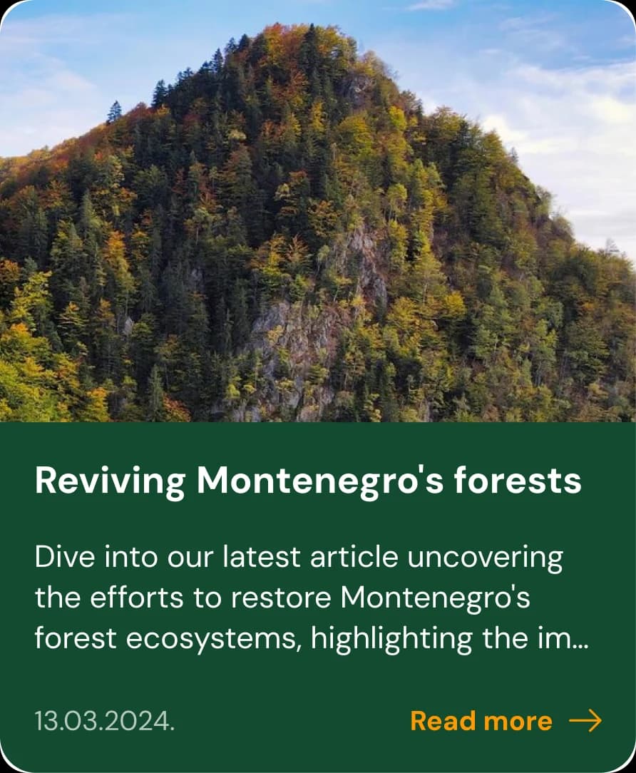
The design gives a national conservation project the credibility it needs while staying warm and legible for a general audience. Nature-forward photography and a green palette carry the subject, and a clean content structure keeps news, maps, open calls and resources easy to reach in both languages.
Every funding call, active or archived, kept on a page.
The project regularly invites consultants and companies to apply for GEF 7 funded activities. The site runs a dedicated open-calls portal that separates active calls from archived ones, so applicants always see what is open now and the team keeps a clean public record of what has closed. Publishing a new call is a content update, not a development task.
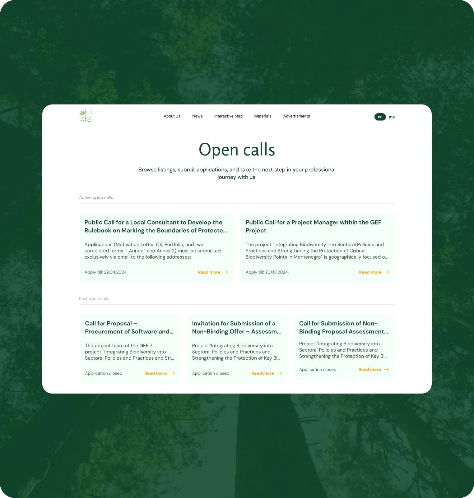
A spatial dataset, turned into something a citizen can actually explore.
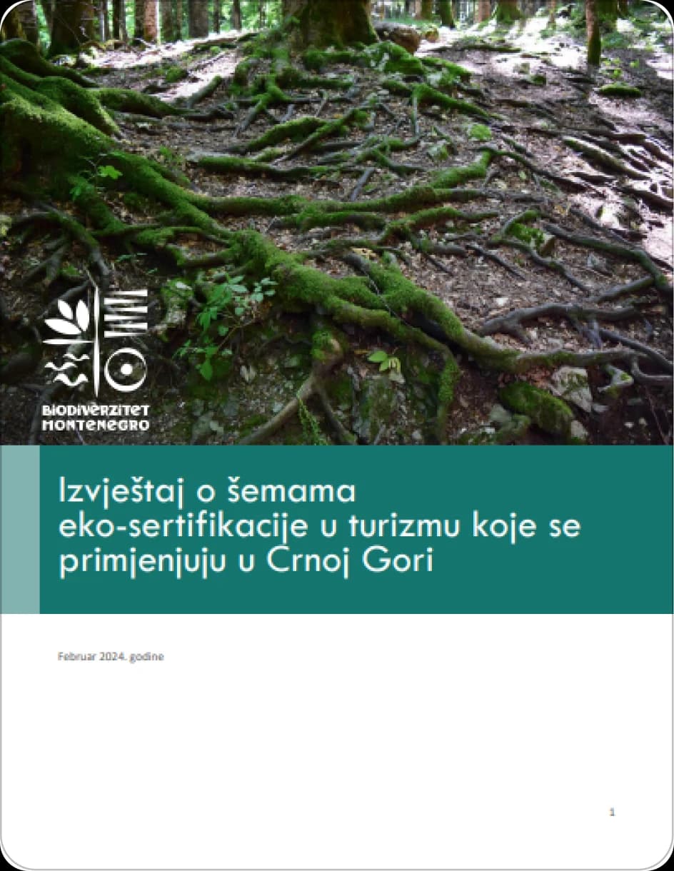
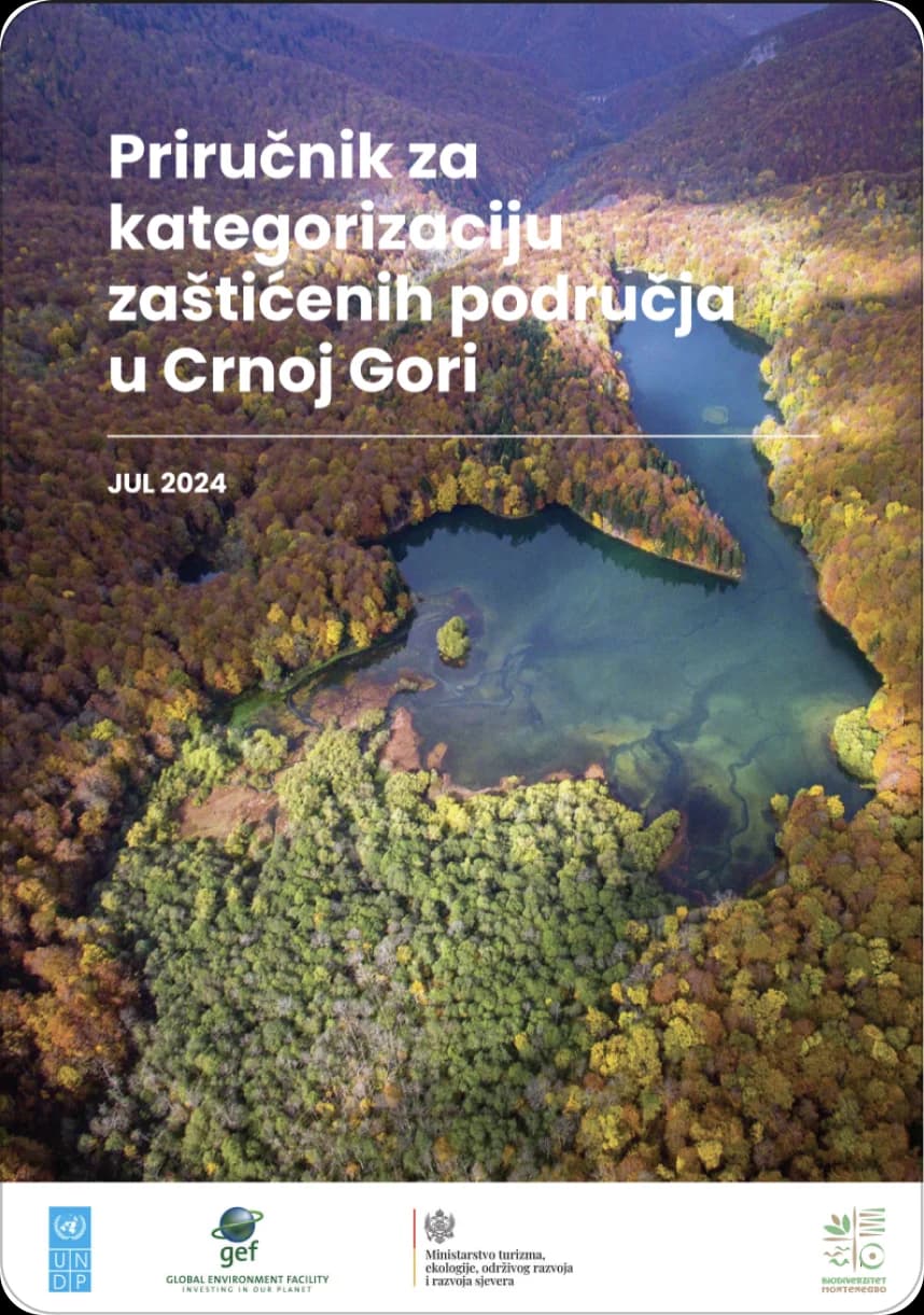
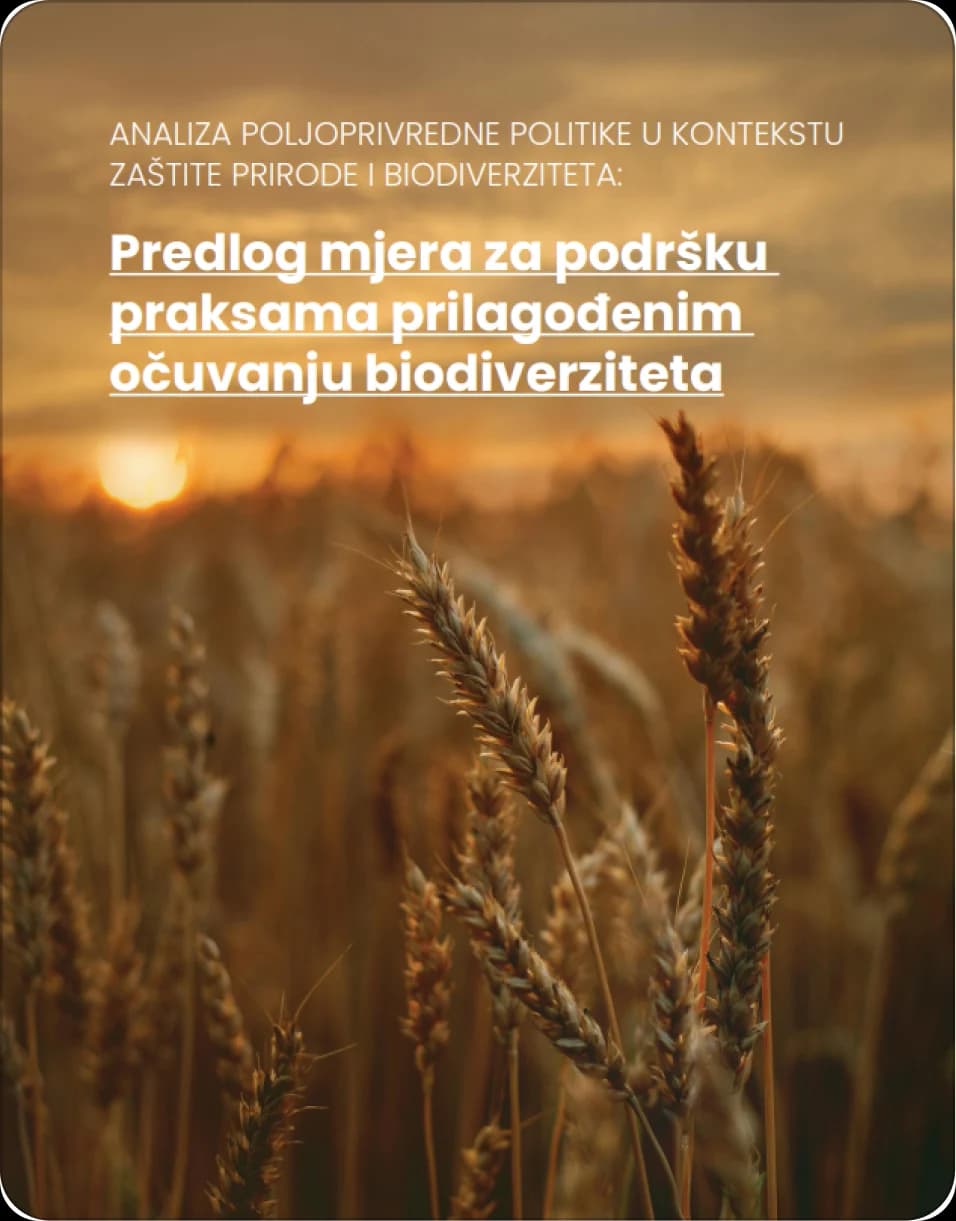
Guidebooks, rules and laws, all in one library.
A dedicated resources section gathers the project's guidebooks, rules, laws and reference materials in one place, so partners and the public can find the document they need without chasing it. The team publishes and updates it themselves through WordPress.
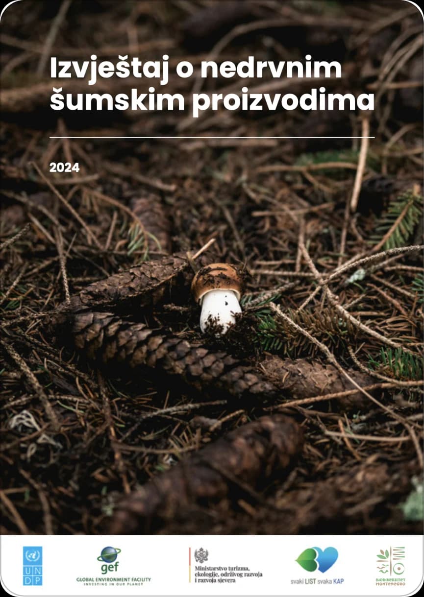
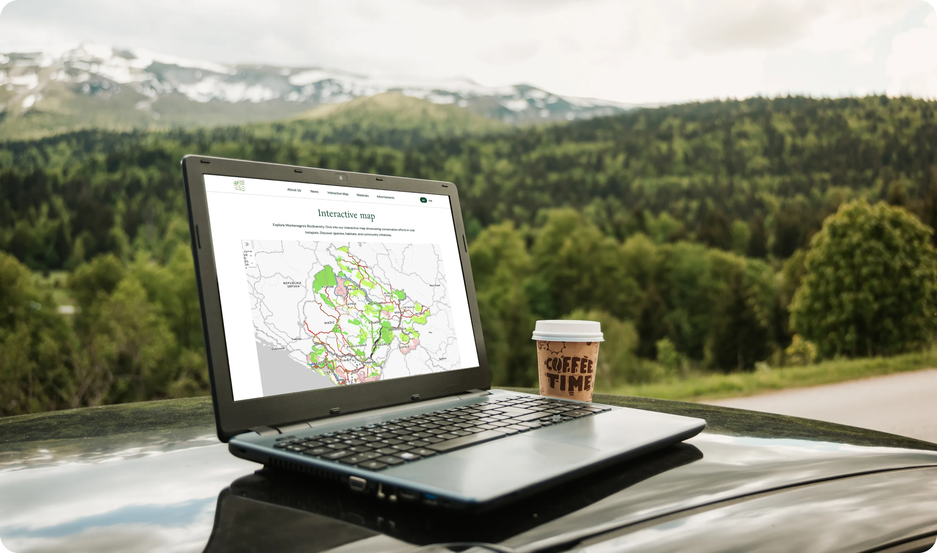
The country's most important nature, on a map you can explore.
An interactive ArcGIS map shows the areas of greatest conservation value, those with a high number of species and habitats of excellent and good representativeness, alongside the areas under international protection status in Montenegro. Complex spatial data becomes something a citizen, a journalist or a sector partner can explore directly, instead of a report they have to ask for.
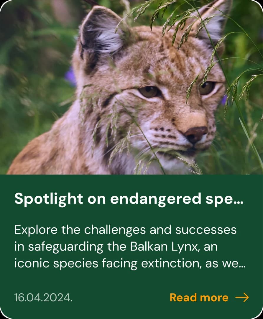
Protected areas, made public and easy to explore.
Whether you're publishing a public programme, running open calls or turning spatial data into something people can actually use, we'll help you choose the smallest sensible starting point and a delivery model that fits your team.
Our playbook for integrating AI into product design and development workflows.
Download the playbook